C-Map Reveal | East Mediterranean, Black and Caspian Seas
Price:
€255.14
-
Code:M-EM-Y111-MS

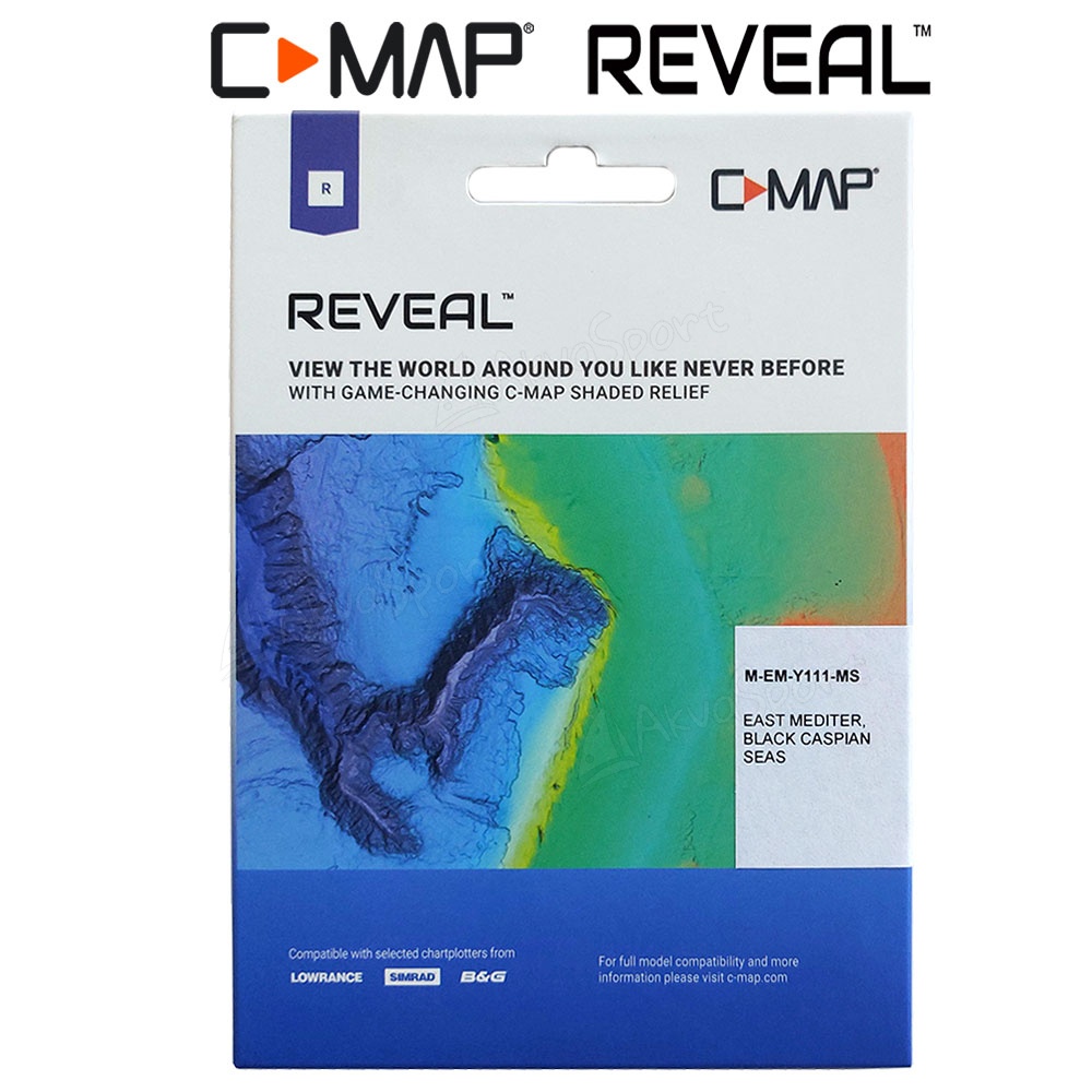
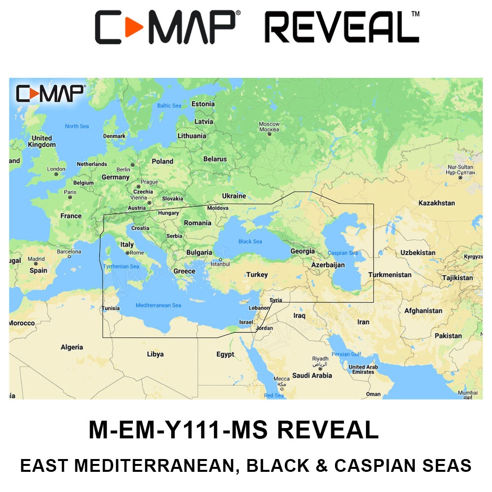
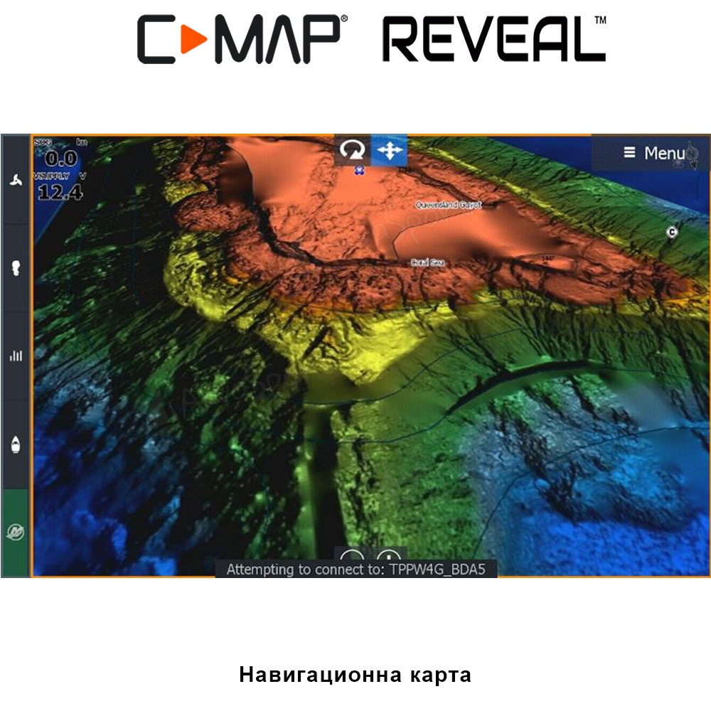
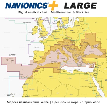
C-Map Reveal code M-EM-Y111-MS | Eastern half of the Mediterranean Sea, Black Sea, Azov and Caspian Seas
The impressive navigation chart M-EM-Y111-MS has a rich set of features and capabilities useful for every angler and yachtsman:
- Coverage: Eastern half of the Mediterranean Sea, Black Sea, Azov and Caspian Seas (see cover photo above)
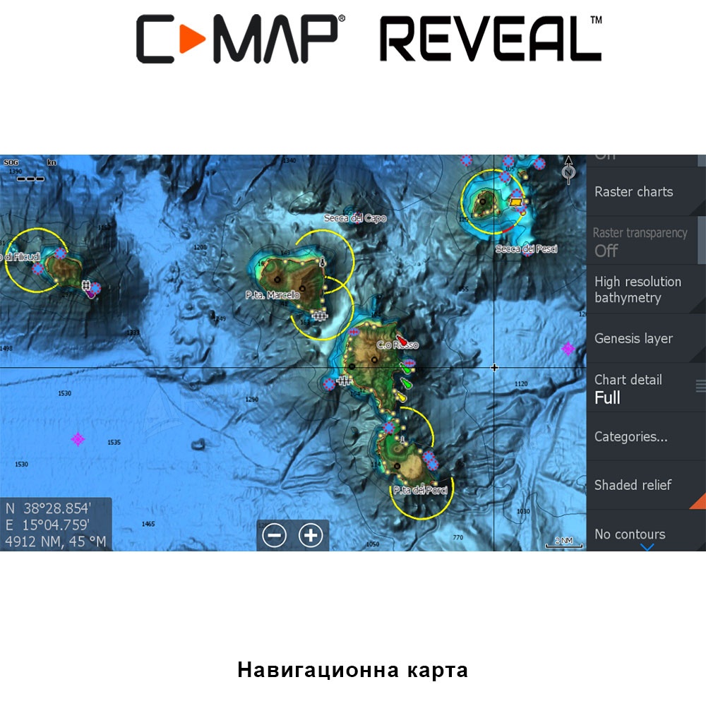
- Full-Featured Vector Charts
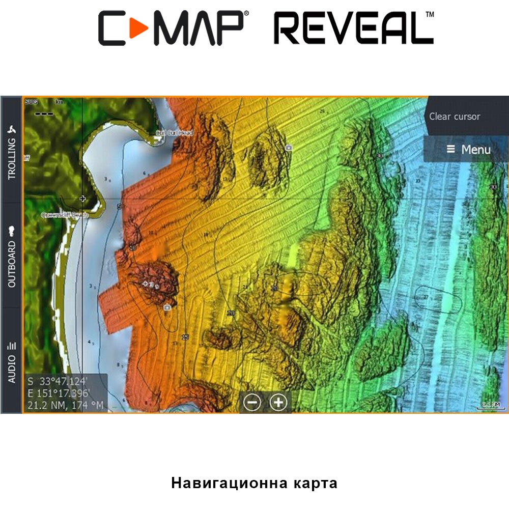
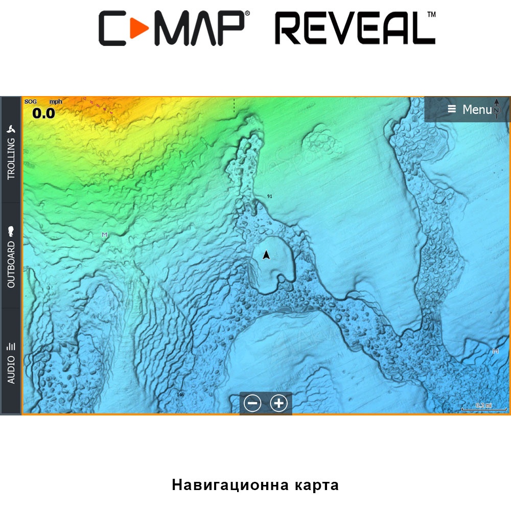
- Shaded Relief
- High resolution bathymetry
- Integrated Genesis Layer
- Custom Depth Shading
- Dynamic Raster Charts
- Aerial photography
- Satellite overlay
- 3D view
- Tides & Currents
- Detailed Marina Port Plans
See a detailed description of all options on the C-Map website.
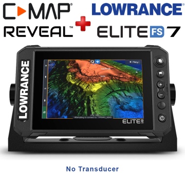
Grab a free C-Map Reveal chart buying an Elite FS Series sonar until JULY 31, 2024